


Geology
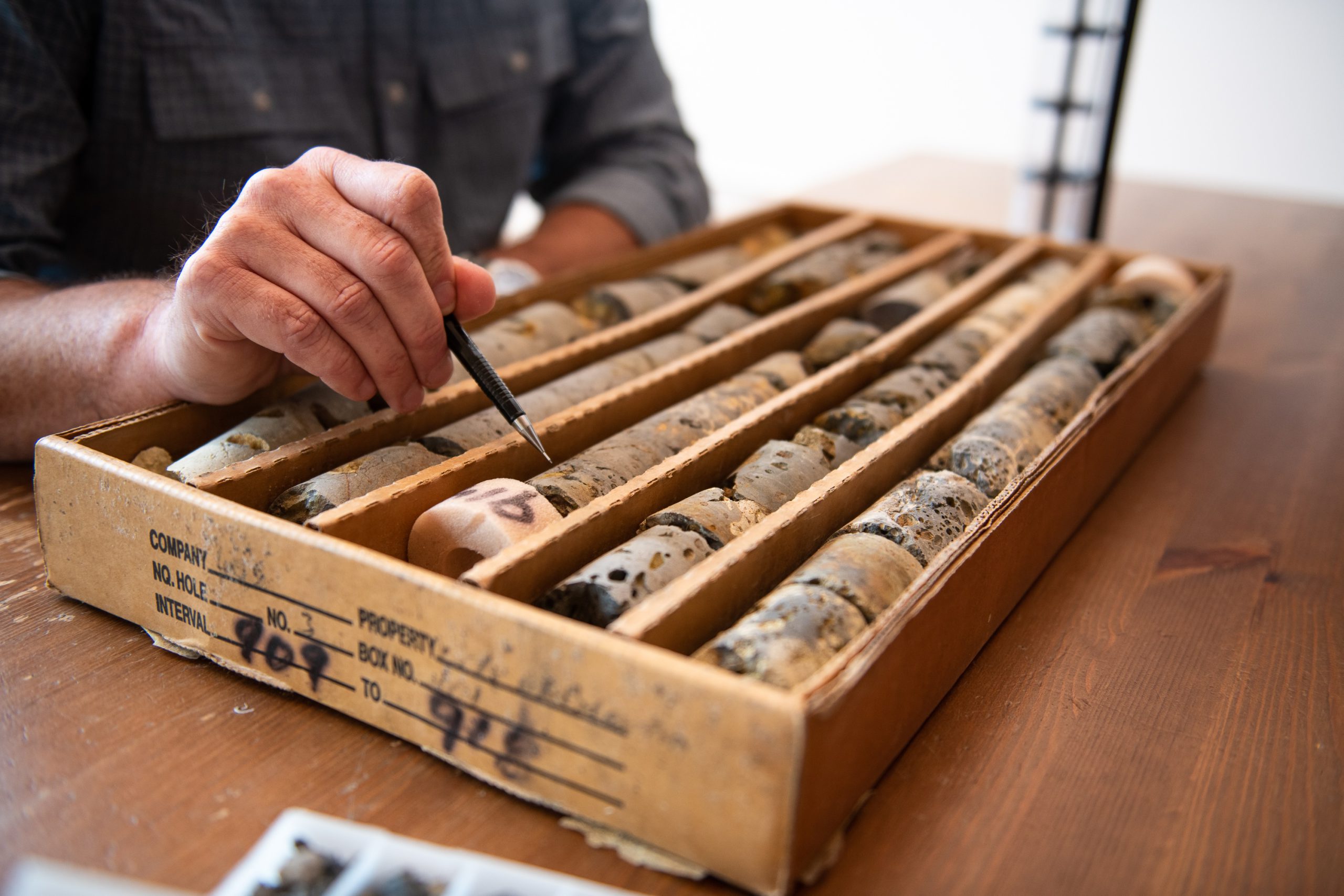
Geo-Logic Associates provides the geologic characterization that forms the foundation for engineered solutions and guides site-specific decisions in complex subsurface environments.
Insight that drives smarter science and engineering
We deliver site-specific insights for effective engineering solutions for fault investigations, geologic mapping, landslide assessments, seismic surveys, soil characterization, and subsurface investigations. GLA’s geologists and engineering geologists are seasoned experts with decades of diverse field experience, applying innovative approaches to unique project challenges.
Service Leader

Fault investigations
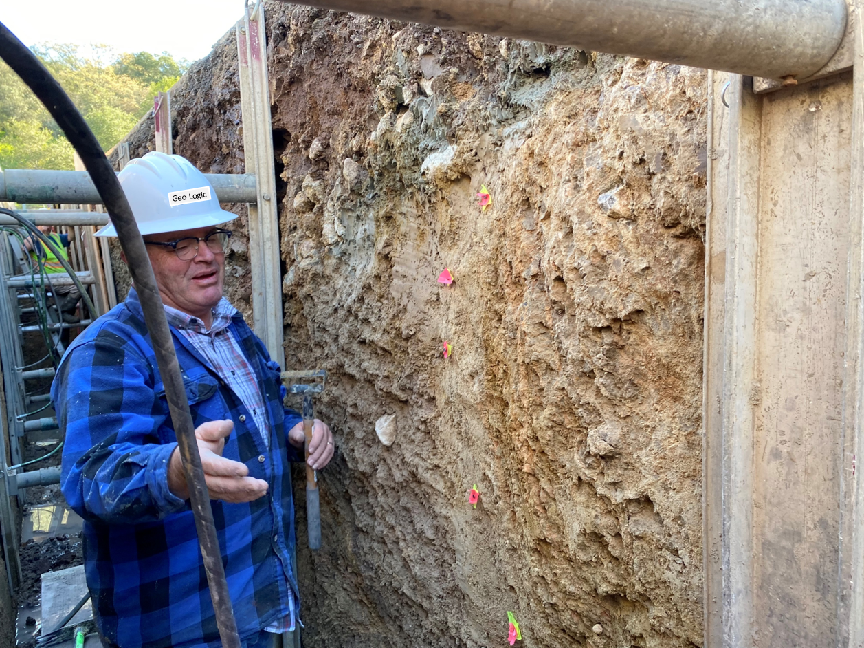
GLA has completed hundreds of fault investigations throughout California, helping clients identify seismic hazards and satisfy regulatory requirements. Our geologists combine detailed field mapping, trench investigations, and paleoseismic analysis to evaluate rupture risk and support informed development decisions. Our approach includes:
- Comprehensive literature and records review
- Detailed geologic mapping
- Fault trenching to confirm fault locations
- Examination of soil horizons and lithified strata to determine the age of the most recent rupture (paleoseismic assessment)
- Development of trench logs and surface mapping
- Site‑specific rupture risk assessment and regulatory-aligned engineering recommendations for building setbacks
Geologic mapping
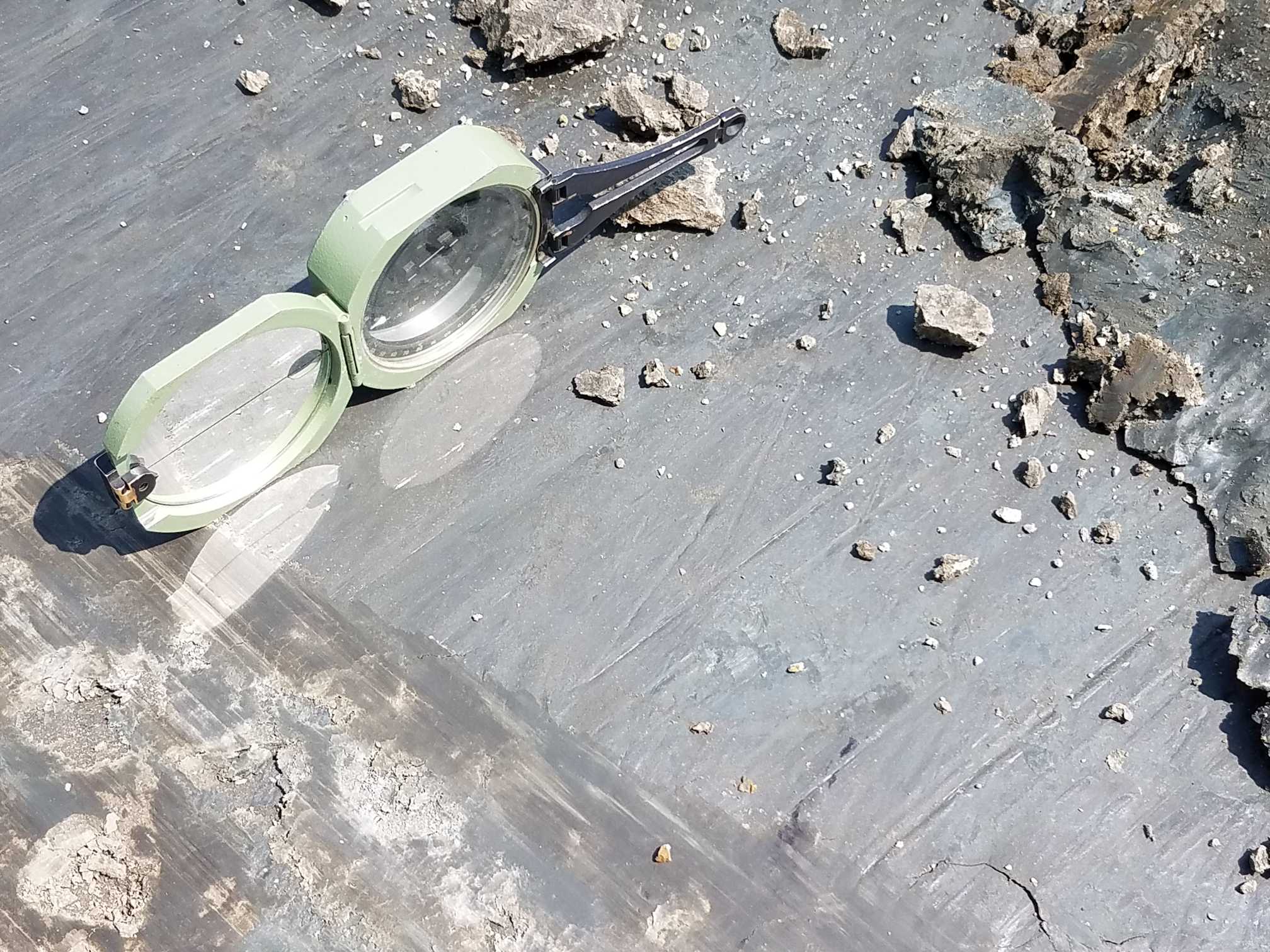
Detailed geologic maps provide the framework for understanding site conditions, geologic hazards, and earth materials. Our geologists combine field observations with advanced GPS and CAD technology to produce accurate maps that support site development, remediation, and engineering design. Services include:
- Hazard identification and risk evaluation
- Assessment of earth material resources
- Site characterization for development and remediation
- Field-based structural and stratigraphic mapping
- High-accuracy GPS data collection
- Detailed CAD-generated geologic maps
Landslide investigations
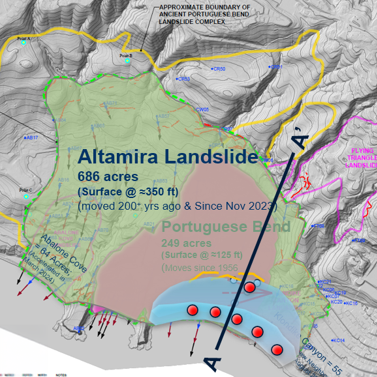
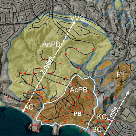
GLA’s geologists are nationally recognized for landslide characterization, monitoring, and mitigation. Working closely with our geotechnical engineers, we evaluate slope instability and develop practical, cost-effective solutions to manage landslide risk.
- Geologic reconnaissance
- Detailed landslide mapping and characterization
- Subsurface investigations
- Slope monitoring, acquisition, and processing of data
- Assessment of landslide mechanics, types, and various causation elements that contribute to landslide movement
- Evaluation of mitigation options
- Mitigation design, plans, and specifications
Shear wave velocity and seismic refraction surveys
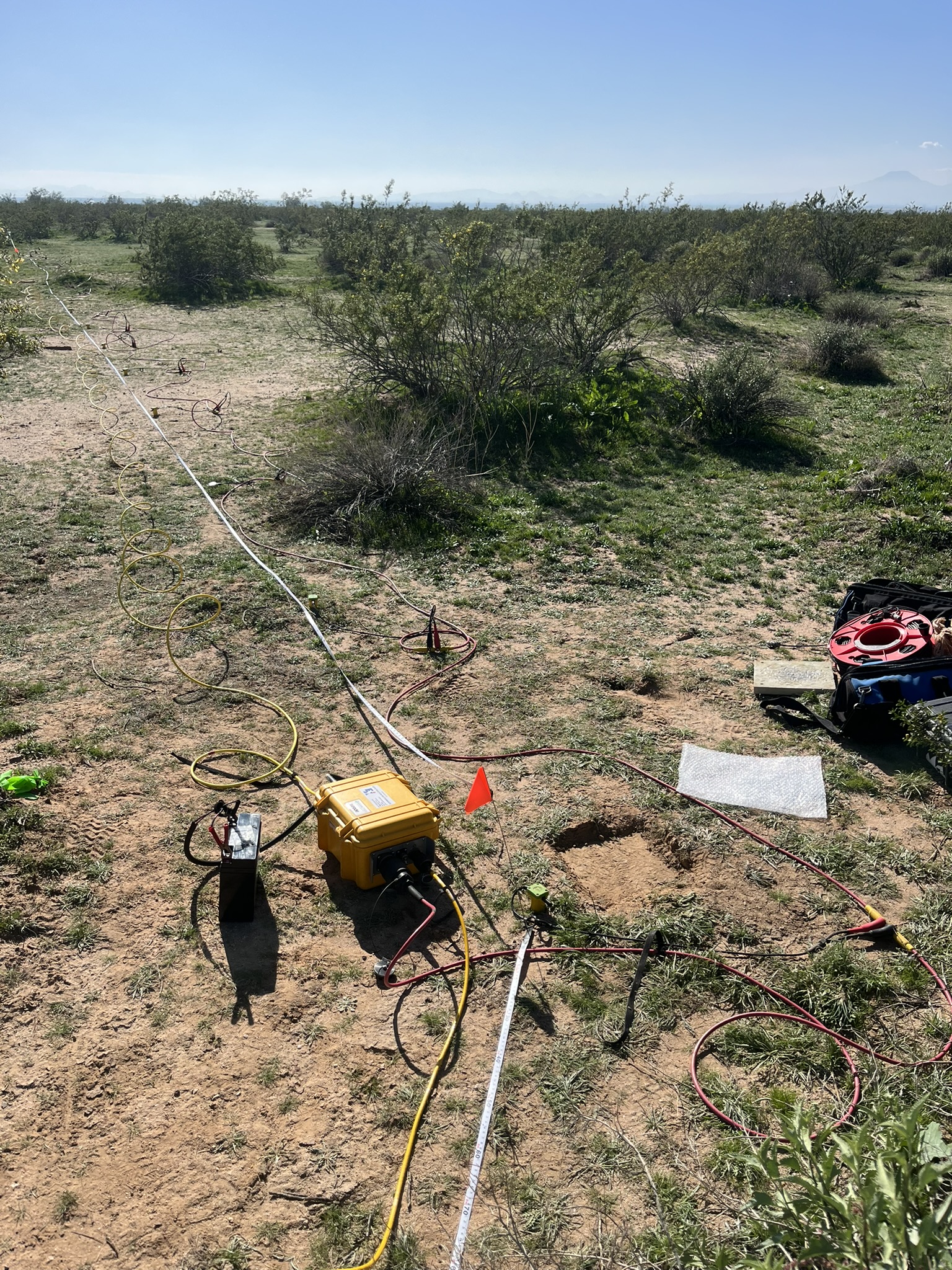
GLA offers our clients expertise in seismic refraction and refraction microtremor (ReMi) geophysical surveys. Seismic refraction methods can assess rippability of rock and depth to groundwater. The ReMi technique can assess geologic structure, stratigraphy, and—for the purposes of seismic site response analyses—shear wave velocity site class.
Soil characterizations
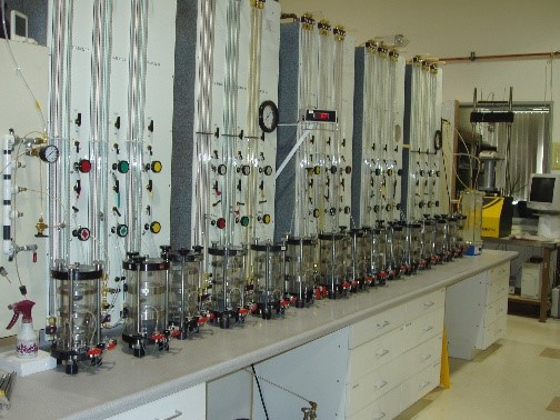
GLA provides detailed characterization of soil properties and structure for our clients. Our professionals have extensive experience in mapping and interpreting geologic conditions and collecting representative soil samples for laboratory analyses. We offer:
- Mapping and interpretation of geologic conditions
- Collection of representative soil samples for laboratory analysis
- Four accredited geotechnical laboratories with the capability to analyze samples to support engineering analysis and regulatory compliance
Subsurface geologic investigations
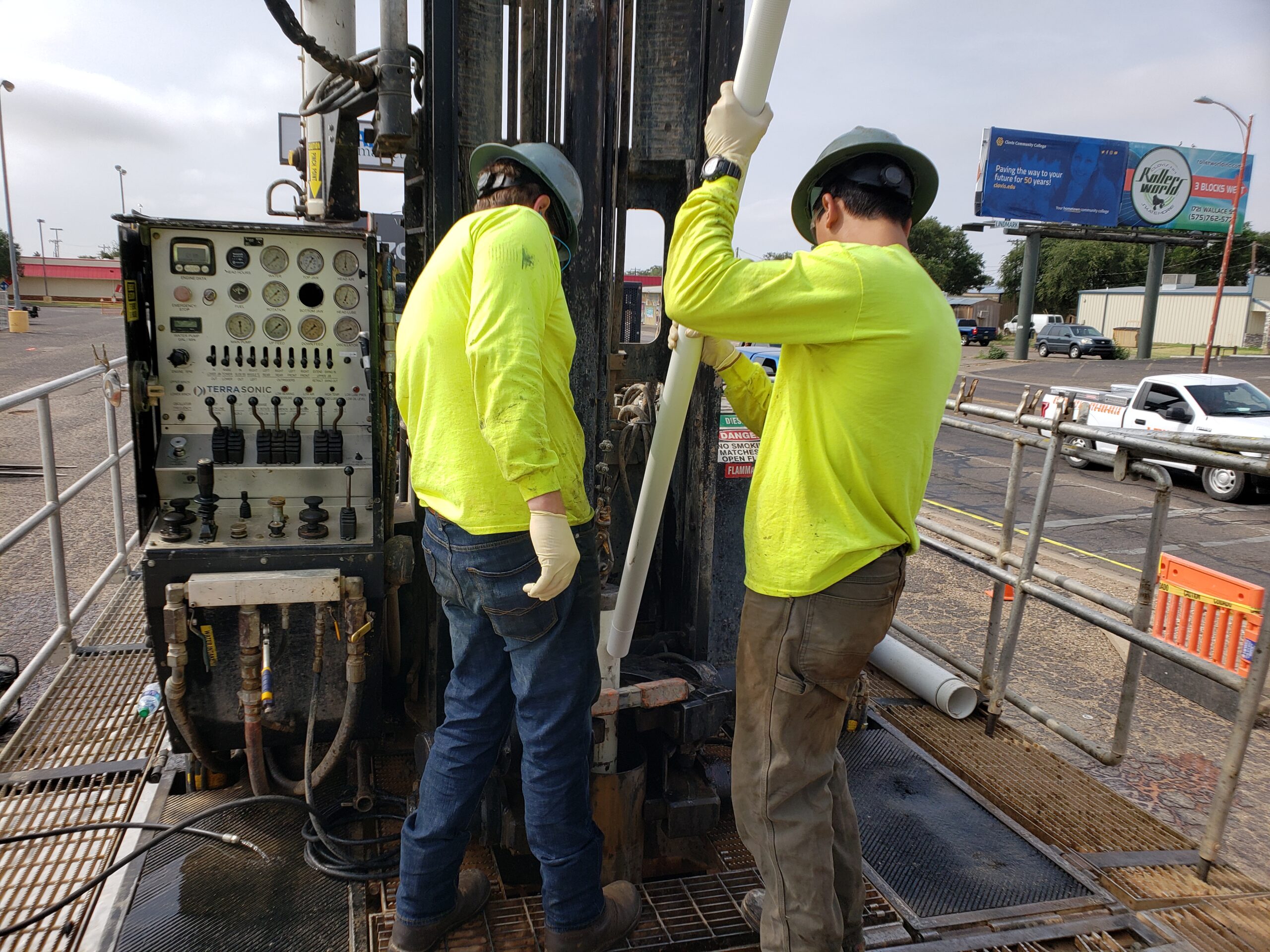
Geo-Logic Associates designs efficient subsurface investigations that maximize data quality while minimizing cost and site disturbance. By strategically locating boreholes and field explorations, we collect the information needed to support sound engineering and environmental decisions. Applications include:
- Civil construction projects
- Environmental containment systems
- Environmental monitoring
- Remediation systems
Engineering geology
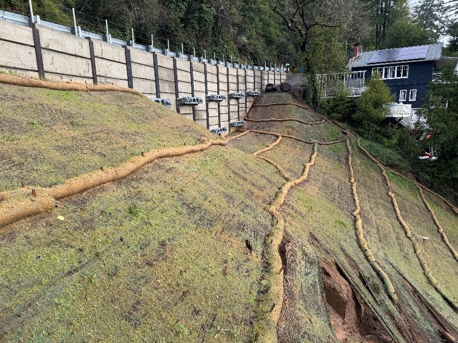
We help clients understand complex site conditions and geologic hazards such as unstable slopes, landslides, and fault activity, and provide critical “ground truthing” for most geotechnical and engineering projects—integrating applied earth science into design, construction, and forensic investigations. Our engineering geologists have a high degree of application-based geologic understanding and provide valuable strategic input to avoid unanticipated complex subsurface conditions that could lead to cost and/or schedule overruns.
- Geologic characterization and geohazards assessment
- Landslide assessment, monitoring, and mitigation design
- Erosion, sedimentation, and scour analysis
- Rockfall hazard assessment and slope stabilization
- Stream and river (fluvial) geomorphology
- Linear project and fault source characterizations
- Mineral resources assessment
- Geologic and geomorphic mapping
- Aerial photograph and imagery analysis
- Slope stability analysis and design
- Fault trenching (paleoseismic studies)
- Surface and borehole geophysics
- Slope inclinometers, piezometers, and observation wells
Fault investigations
GLA has completed hundreds of fault investigations throughout California, helping clients identify seismic hazards and satisfy regulatory requirements. Our geologists combine detailed field mapping, trench investigations, and paleoseismic analysis to evaluate rupture risk and support informed development decisions. Our approach includes:
- Comprehensive literature and records review
- Detailed geologic mapping
- Fault trenching to confirm fault locations
- Examination of soil horizons and lithified strata to determine the age of the most recent rupture (paleoseismic assessment)
- Development of trench logs and surface mapping
- Site‑specific rupture risk assessment and regulatory-aligned engineering recommendations for building setbacks
Geologic mapping
Detailed geologic maps provide the framework for understanding site conditions, geologic hazards, and earth materials. Our geologists combine field observations with advanced GPS and CAD technology to produce accurate maps that support site development, remediation, and engineering design. Services include:
- Hazard identification and risk evaluation
- Assessment of earth material resources
- Site characterization for development and remediation
- Field-based structural and stratigraphic mapping
- High-accuracy GPS data collection
- Detailed CAD-generated geologic maps
Landslide investigations
GLA’s geologists are nationally recognized for landslide characterization, monitoring, and mitigation. Working closely with our geotechnical engineers, we evaluate slope instability and develop practical, cost-effective solutions to manage landslide risk.
- Geologic reconnaissance
- Detailed landslide mapping and characterization
- Subsurface investigations
- Slope monitoring, acquisition, and processing of data
- Assessment of landslide mechanics, types, and various causation elements that contribute to landslide movement
- Evaluation of mitigation options
- Mitigation design, plans, and specifications
Shear wave velocity and seismic refraction surveys
GLA offers our clients expertise in seismic refraction and refraction microtremor (ReMi) geophysical surveys. Seismic refraction methods can assess rippability of rock and depth to groundwater. The ReMi technique can assess geologic structure, stratigraphy, and—for the purposes of seismic site response analyses—shear wave velocity site class.
Soil characterizations
GLA provides detailed characterization of soil properties and structure for our clients. Our professionals have extensive experience in mapping and interpreting geologic conditions and collecting representative soil samples for laboratory analyses. We offer:
- Mapping and interpretation of geologic conditions
- Collection of representative soil samples for laboratory analysis
- Four accredited geotechnical laboratories with the capability to analyze samples to support engineering analysis and regulatory compliance
Subsurface geologic investigations
Geo-Logic Associates designs efficient subsurface investigations that maximize data quality while minimizing cost and site disturbance. By strategically locating boreholes and field explorations, we collect the information needed to support sound engineering and environmental decisions. Applications include:
- Civil construction projects
- Environmental containment systems
- Environmental monitoring
- Remediation systems
Engineering geology
We help clients understand complex site conditions and geologic hazards such as unstable slopes, landslides, and fault activity, and provide critical “ground truthing” for most geotechnical and engineering projects—integrating applied earth science into design, construction, and forensic investigations. Our engineering geologists have a high degree of application-based geologic understanding and provide valuable strategic input to avoid unanticipated complex subsurface conditions that could lead to cost and/or schedule overruns.
- Geologic characterization and geohazards assessment
- Landslide assessment, monitoring, and mitigation design
- Erosion, sedimentation, and scour analysis
- Rockfall hazard assessment and slope stabilization
- Stream and river (fluvial) geomorphology
- Linear project and fault source characterizations
- Mineral resources assessment
- Geologic and geomorphic mapping
- Aerial photograph and imagery analysis
- Slope stability analysis and design
- Fault trenching (paleoseismic studies)
- Surface and borehole geophysics
- Slope inclinometers, piezometers, and observation wells